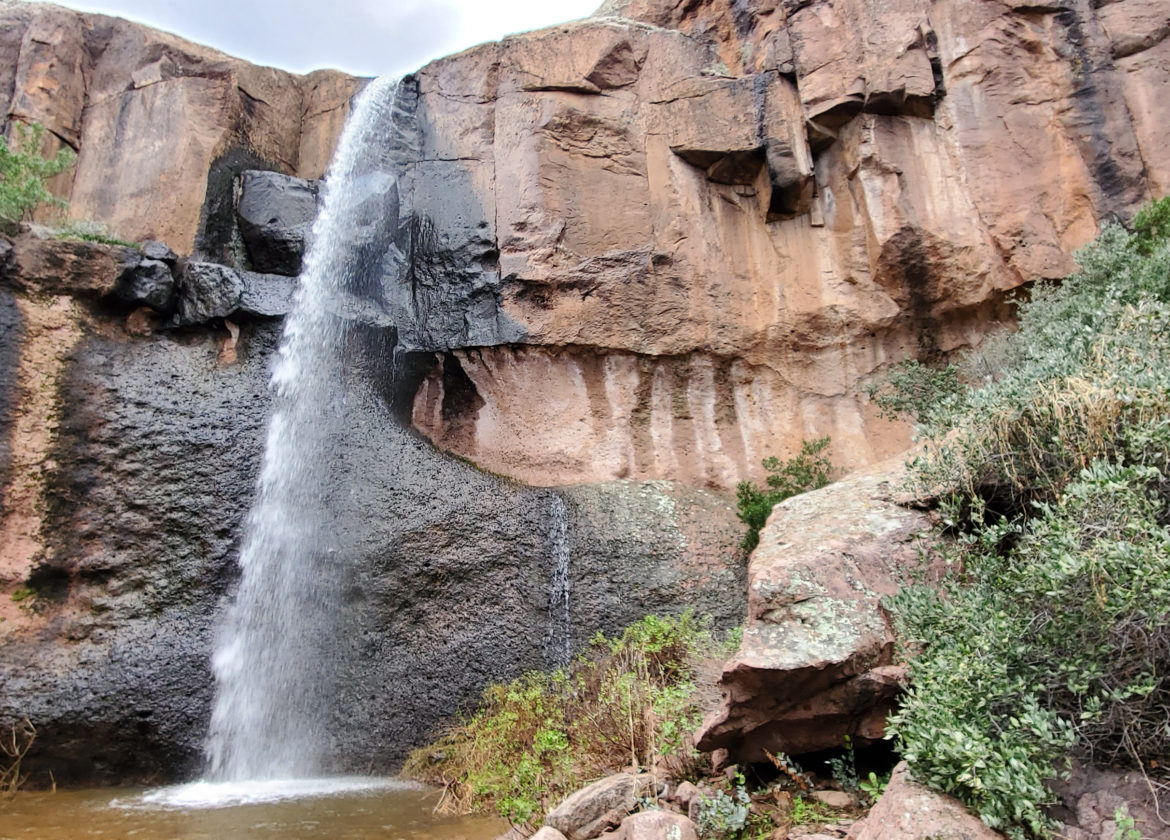
Massacre Falls Trail
The beautiful Superstition Mountains is home to many amazing trails. One of our favorite trails is the Massacre Falls Trail. Though this trail is rated as moderate. The hike starts out fairly flat and easy but be prepared for the last quarter mile when the elevation ramps up and it becomes very steep. This is where the “moderate” rating goes into effect.
Similar to many trails in Arizona, you will encounter areas with sandy inclines as well as many rocky areas. If you have trekking poles, this is a good trail to use them to keep you steady. There are also some areas where the trail is hard to find. For this reason, I recommend bringing a GPS and tracking your route or use it to help stay on the trail.
Our main goal was to see the waterfall and we were so happy we did! The trail was gorgeous and the waterfall was stunning. If you are all in for seeing a beautiful waterfall in the desert, this hike may be for you! We hiked this trail after a stretch where there was daily rain. If your timing is right, and you can make it here after a rain, you will more than likely have the opportunity to see the beautiful Massacre Falls at the end of the trail. There are spots within the hike where you can view Weaver’s Needle and the Flat Irons. The views throughout the entire hike were incredible. Even if there was no water flowing at the falls, I would highly recommend this hike.
What to bring
To start, WATER and lots of it! People often underestimate how much water they will need. When my husband and I hiked this, it was a cooler day and we each brought a 2-liter water pack. We are both experienced hikers and in good shape. How much water to bring will depend on your fitness level, experience level and weight. Also, there is no shade so wear sunscreen, lip protection, a floppy hat, bring snacks and hiking poles if you use them. Also make your phone is fully charged and have a GPS ready to use.
If you are an advanced hiker and want to conquer a challenging hike and climb, be sure to check out our Flat Irons experience.
You can view some trail maps HERE

